

The Map Man: How Sharad Mahajan Put Pune on the Map
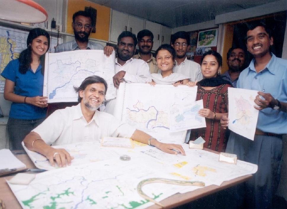
Inspired by Vinita Deshmukh’s feature, “The Map Man”
He is an architect-planner by training, but everyone at Mashal will tell you he has the disposition of an artist. Sharad Mahajan is best known today for something that sounds almost bureaucratic on paper — compiling the annual Environmental Status Reports not just for the Pune Municipal Corporation, but for five other municipal corporations across Maharashtra — through the non-governmental organisation he leads, Mashaal. But behind those reports lies a much more colourful story: one of maps that have quietly changed how Pune understands itself.
A City in Bad Shape — On Paper, At Least
Mahajan’s mapping mission didn’t start as a grand plan. It began with frustration.
Years ago, he was part of a consulting group tasked with preparing the development plan for the 38 fringe villages around Pune — a plan that was ultimately discarded after several of those villages were dropped from the list. It was during this exercise that Mahajan realised just how poor the PMC’s map-based data systems really were. Planning decisions were being made without the basic visual infrastructure that any city needs to understand its own geography, growth, and gaps. That realisation stayed with him.
An idea, and an Unexpected Benefactor
About three years before this feature was written, Mahajan approached the then Municipal Commissioner, T C Benjamin, with a proposal: build a Map-Based Information System (MIS) for the corporation’s various departments. Benjamin liked the idea — but the civic body simply couldn’t fund it.
That’s when Pune found its “good Samaritan.” Developer Satish Magar stepped in and donated Rs 2.7 lakh, enough to set the wheels in motion. It was, in Pune, a never-before-attempted endeavour: turning the city’s scattered, often outdated records into a coherent set of digitised maps.
From Files to Frontlines
With cooperation from various PMC departments, Mahajan and his team at Mashal got to work converting dense administrative data into maps built “for effective planning and governance.”
The process was painstaking. The base map itself was constructed by layering together:
- Development plans prepared for the old PMC limits
- The draft development plan for the newly added villages
- Revenue maps of villages
- Maps from the Survey of India
- Satellite imagery
- On-ground verification
Every additional layer of information — traffic patterns, water supply networks, slum locations, and more — was then superimposed on this base map. The result: maps that are, in the words of the original feature, colourful, scientific, and exceedingly well-researched.
A Map for Every Purpose
What sets Mashal’s approach apart is its flexibility. Need a map that shows traffic bottlenecks? Water supply gaps? Slum clusters? This year’s Environmental Status Report includes exactly that — thematic maps built for specific civic questions, not one-size-fits-all cartography.
The utility of this work extends beyond civic reports. Mahajan recalls preparing a constituency map for Suresh Kalmadi during an election campaign — proof that these maps have found real, practical use far beyond the planning department.
Making Map-Reading a Habit
Perhaps the most telling sign of Mashaal’s impact is how the relationship between the organisation and Pune’s corporators has evolved. Where civic representatives once had little use for formal maps, they now come to Mashaal with rough, hand-sketched ward maps — which Mahajan and his team refine into precise, digitised versions.
As Mahajan puts it: “Unlike westerners, we are not used to making maps our guide, and I endeavour to make this a habit with Puneites.”
It’s a simple ambition with far-reaching implications. In a city growing as fast as Pune, a habit of thinking spatially, of using maps not as decoration but as decision-making tools — could be the quiet infrastructure that makes better urban governance possible.