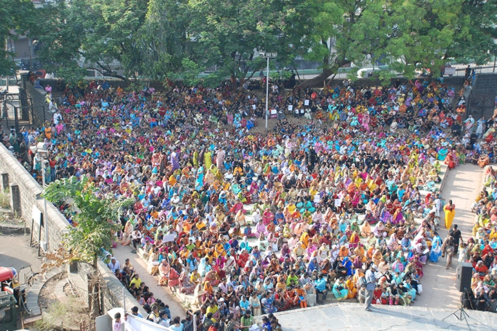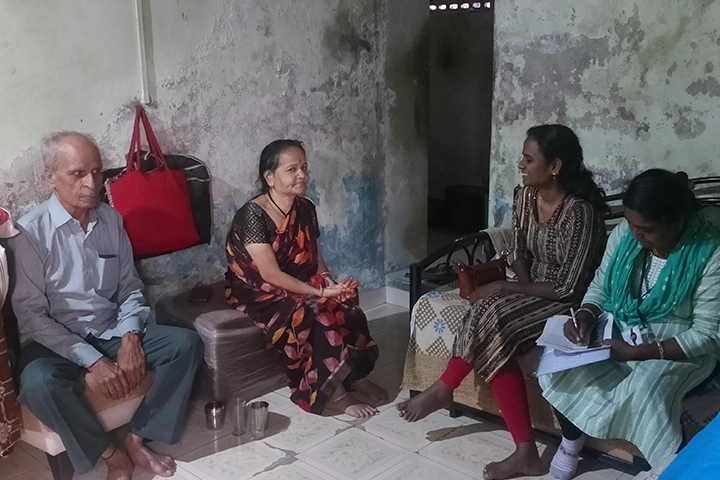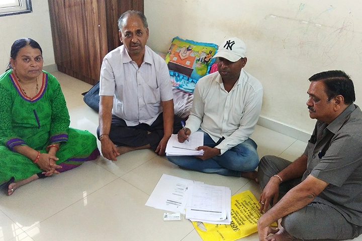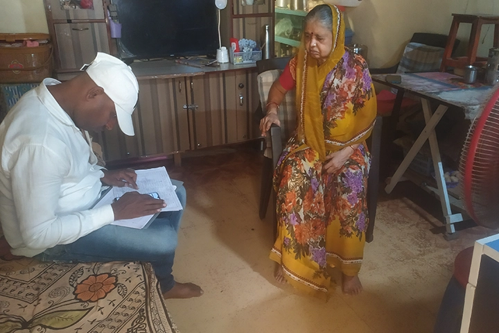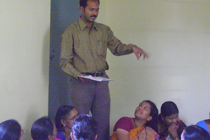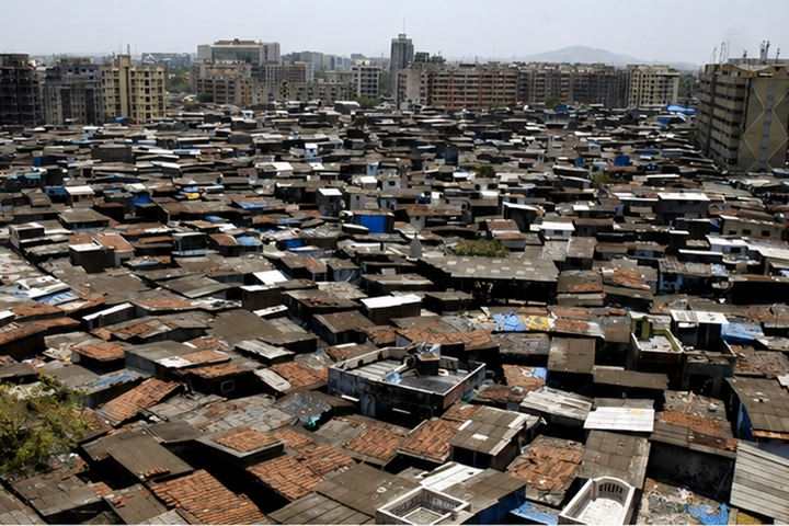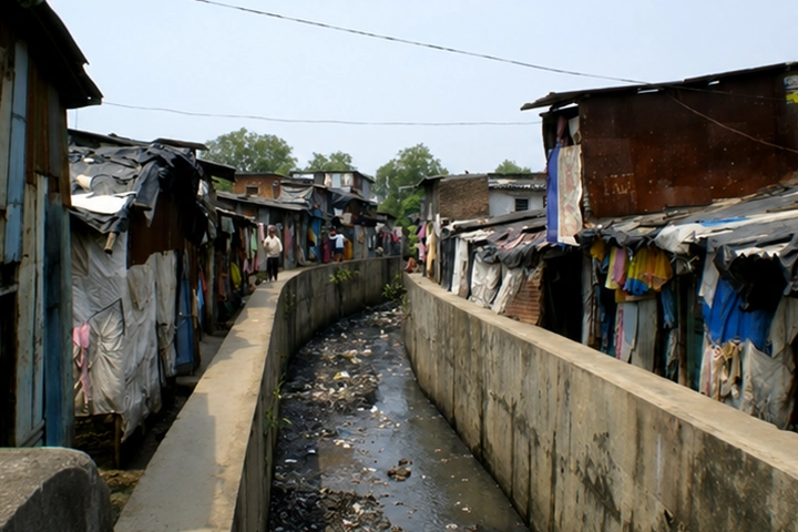

Good planning starts with listening. For forty years, MASHAL has combined mapping technology with community voices to generate data that reflects how people truly live.
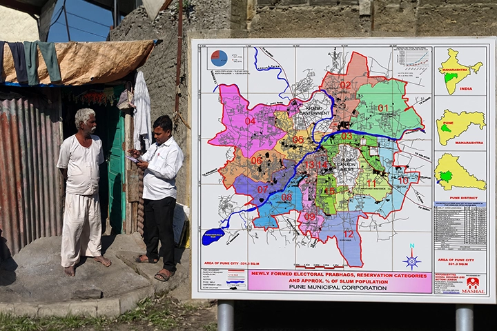
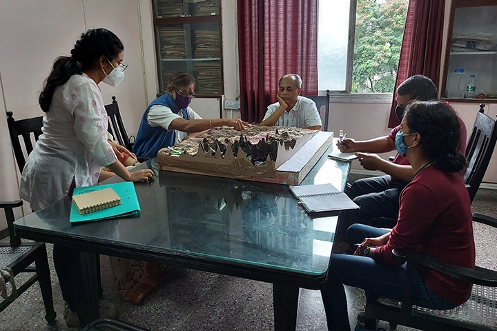
Data as the Foundation of Community Development
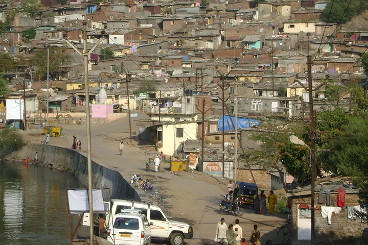
MASHAL uses GIS surveys, drone mapping and spatial data systems to support evidence-based planning and effective service delivery.
The intervention includes:
-
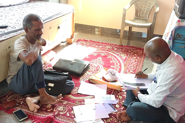
- Biometric and socio-economic surveys
- Cadastral and slum mapping
- Drone-based settlement profiling
- Housing and land-market assessments
- Community needs assessments
- Geo-referenced digital databases
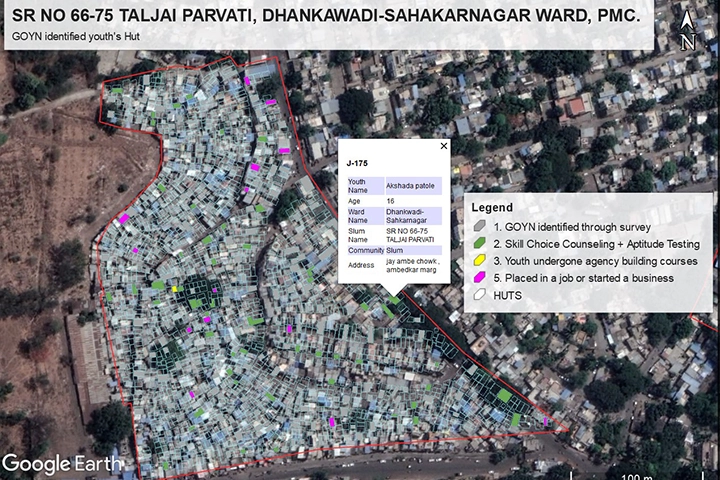
Why Accurate Data Matters for Urban Development
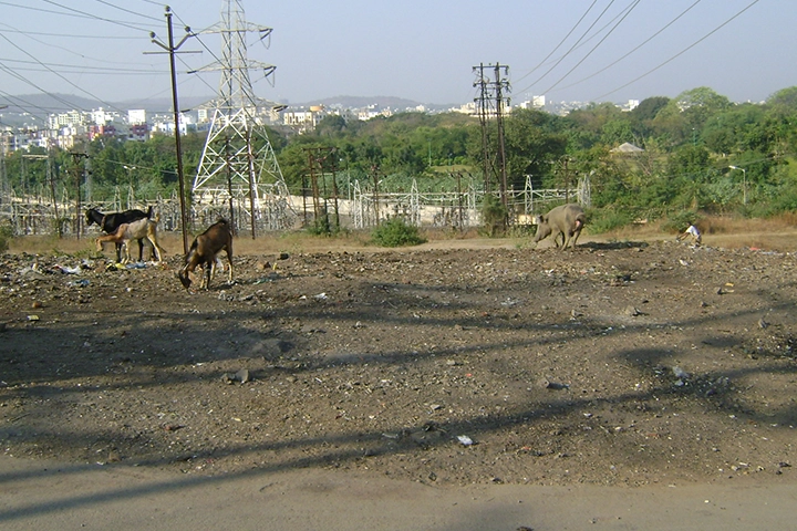
Without reliable spatial and socio-economic data, urban planning remains fragmented andwelfare delivery misses those who need it most. Informal settlements, slum communities, and peri-urban populations often remain invisible in official systems.
Accurate surveys and GIS mapping improve:
-
- Targeting of government schemes & subsidies
- Infrastructure planning & disaster risk reduction
- Slum rehabilitation & resettlement planning
- Housing demand & affordability assessments
- Livelihood & youth opportunity interventions
- Climate vulnerability & resilience planning
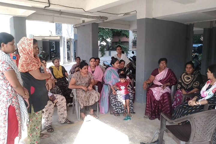
MASHAL believes data collection must be participatory, community-informed, and
grounded in the lived realities of the people it represents.
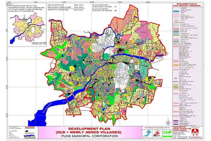
Technical Precision with Community Engagement
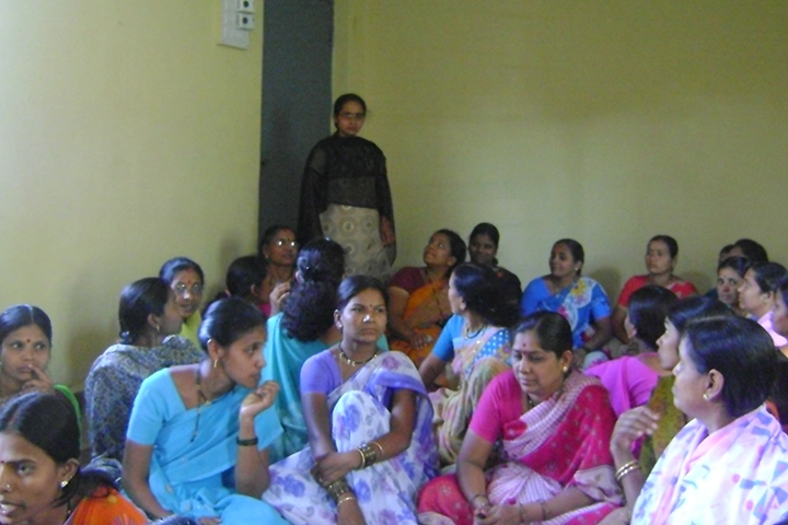
MASHAL combines advanced GIS tools and drone technology with trained field teams and participatory survey methods to produce data systems that are both technically rigorous and community owned.
The process includes:
-
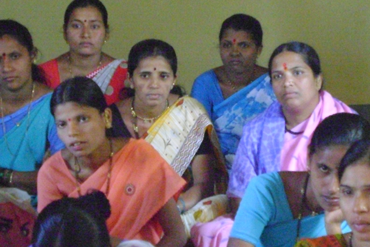
- Community mobilisation & consent-building
- Field surveys with geo-tagged data collection
- Drone-based aerial mapping & profiling
- GIS integration and spatial data analysis
- Digital database development & KML output
- Web-based GIS platforms for governance use
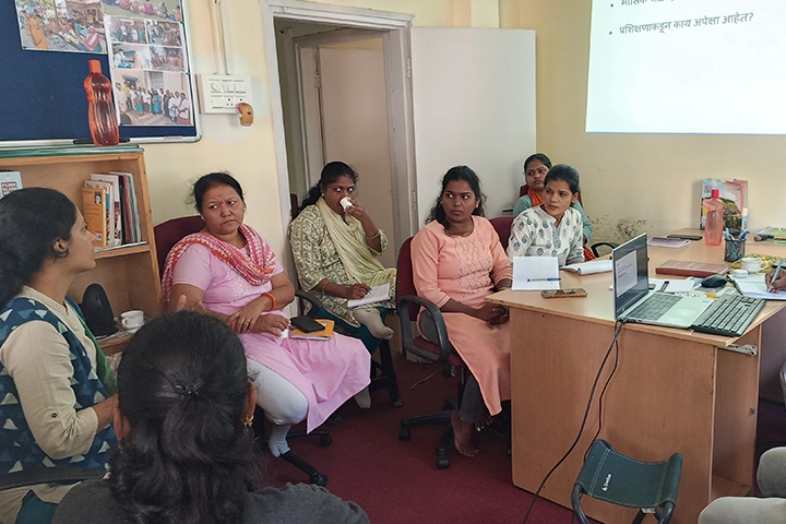
- Capacity building of community volunteers and local officials
MASHAL uses socio-economic surveys, GIS mapping, and community research to guide inclusive housing and urban development. Its evidence-based approach helps governments, donors, and communities plan targeted and sustainable interventions.
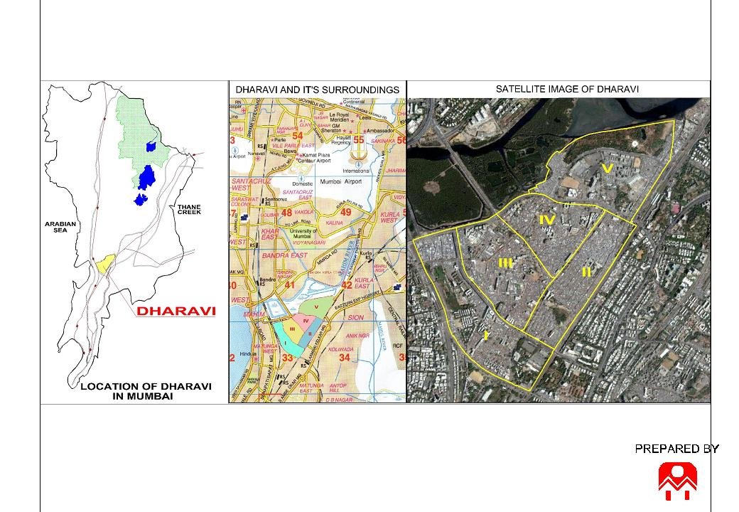
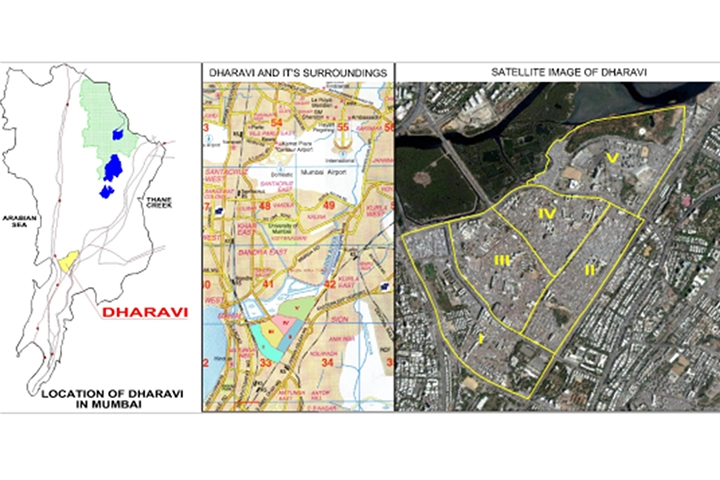
MASHAL pioneered biometric-based community surveying in Dharavi, creating a comprehensive database to support evidence-based planning and a better understanding of the settlement’s communities.
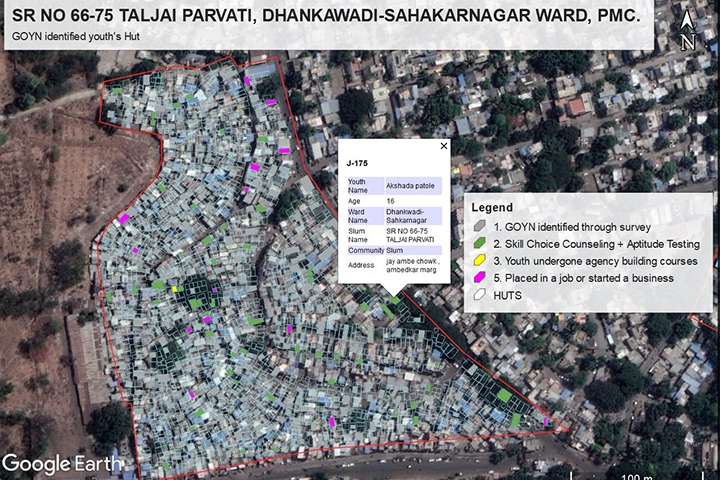
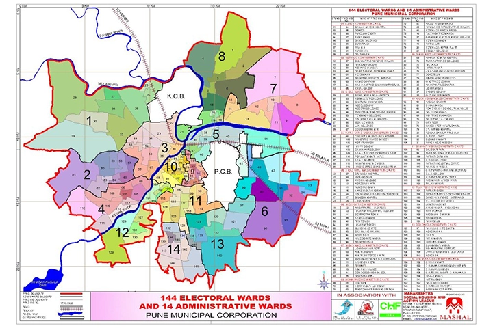
The project aimed at geo tagging of the ward wise survey of Pune Municipal Corporation (PMC). Global Opportunity Youth Network (GOYN) believes that working with a solid base of data enables communities to consider and design solutions appropriate to the scale of the problem by addressing systematic challenges.
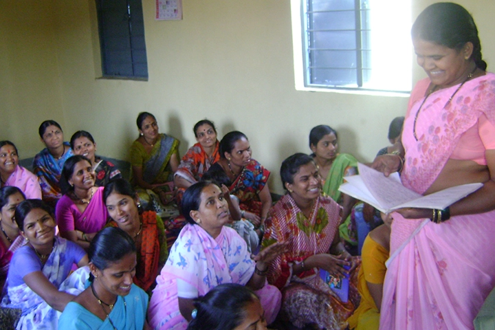
MASHAL assessed demand and supply side housing requirements for the city of Pune as inputs in the preparation of Development Plan for the city of Pune. The Following aspects were included: Study of various Housing Systems and subsystems in Pune city, study of the Central and State Housing Policies.
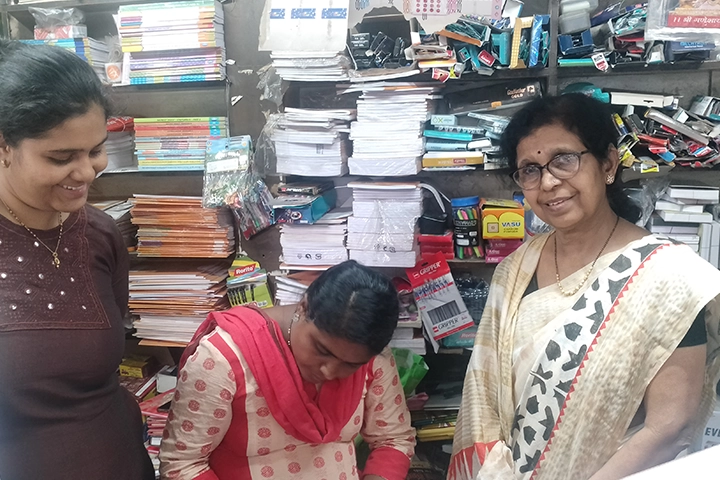
In the year 2007, Shri. Shrikant ji Hanmantram ji Rathi of Tarachand Ramnath Seva Trust established. The objective of this trust is to bring social change in a planned manner. The focus on community issues. He devoted his family to charitable works. It was decided to spend 1 anna (6.25%) of the annual income. Taking this tradition forward, Shrimati Geeta Deviji Shrikantji Rathi has created…
Partner with us to put community data at the centre of better urban planning and fairer service delivery.